
Latitude:36.8068°N
Longitude:121.7878°W
Instrumentation Package: Seabird SBE26 calibrated 12/03/08
|
|||
|
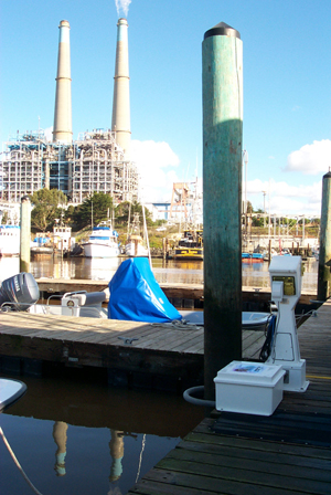
Small Boat Dock Montitoring Station Latitude:36.8068°N Longitude:121.7878°W Instrumentation Package: Seabird SBE26 calibrated 12/03/08 |
||
| Instrument removed 10/19/10. Historical data available here. | |||
| |
|||
 |
|
||||||||||||||
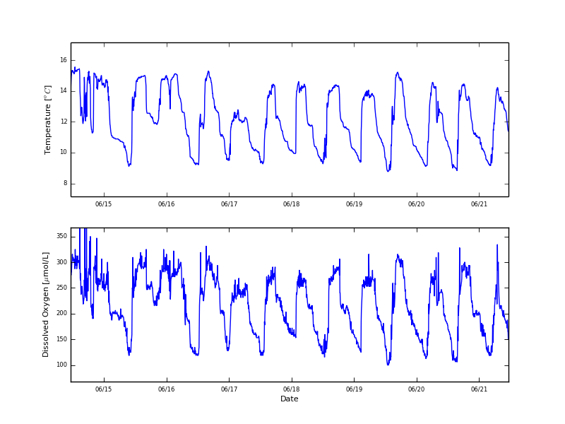
| Note: The intake for the seawater system is at ~16 meters depth | |||||||||||||||
| |
|||||||||||||||
Water Conditions for the last 7 days | |||||||||||||||
 |
|||||||||||||||
| Historical Data Link for Seawater System Monitoring Station |
|||||||||||||||